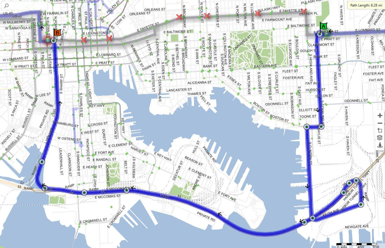
The 2025 Maryland Cycling Classic takes place Saturday, September 6, featuring some of the best cyclists from around the world. Tour de France participants, World Champions, National Champions, Olympians and cycling heroes from 30 countries are set to race the 120 mile course from Baltimore County down into the heart of Baltimore City. Click here for the full route map.
Due to road closures from Baltimore City Department of Transportation (BCDOT) Transit riders should allow extra travel time and take note of where detours begin and end on their route as many stops will be inaccessible.
Weekend Service Adjustments
Local Bus Detours
Use the filter below to find the detours on your route. Please note detours are based on the information provided by BCDOT as of August 20, are expected to be in place from 4:00am to 7:00pm, and are subject to change
Affected routes include:
- CityLink - Blue, Brown, Gold, Green, Lime, Navy, Orange, Pink, Purple, Red, Silver, and Yellow
- LocalLink - 21, 22, 28, 30, 33, 51, 53, 54, 56, 65, 67, 71, 76, 78, 80, 91, and 94
- QuickLink - 40
Use the filter below to find the detours on your route.
CityLink Blue
Eastbound Detour
Details
Via the regular route eastbound on Mulberry Street to Greene Street, then:
- Right on Greene Street
- Left on Pratt Street
- Right on Howard Street
- Straight onto Cal Ripken Way / I-395
- Stay Right for Ramp onto I-95 North (New York)
- Merge onto I-95 North Exit (New York)
- Straight on I-95 North
- Use Bore 4 to go through Fort McHenry Tunnel
- Right on Exit 56 (Keith Avenue) the first exit after the tunnel
- Right on Keith Avenue
- Straight onto Clinton Street
- Right on Boston Street
- Left on Conkling Street
- Right on Eastern Avenue, then via the regular route.
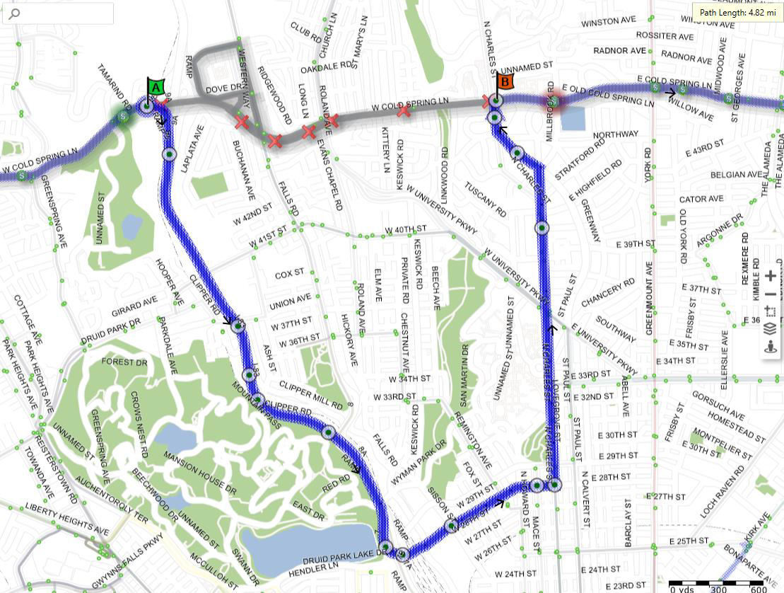
Westbound Detour

Details
Via the regular route westbound on Eastern Avenue to Conkling Street, then:
- Left on Conkling Street
- Right on Boston Street
- Left on Clinton Street
- Straight onto Keith Avenue
- Left on Entrance Ramps to I-95
- Bear Left for I-95 South (Washington)
- Straight on I-95 South (Washington)
- Use Bore 1 to go through Fort McHenry Tunnel
- Right on Exit 53 for I-395 (Downtown/Inner Harbor)
- Merge Left for I-395 (Downtown/Inner Harbor)
- Straight onto Cal Ripken Way / I-395 to Howard Street
- Straight onto Howard Street
- Left on Saratoga Street, then via the regular route.
CityLink Brown

Details
Southbound from Overlea, via the regular route on Broadway to Fayette Street, then:
- Right on Fayette Street
- Right on Caroline Street
Northbound to Overlea, from Stop ID 10550, then:
- Straight on Caroline Street
- Right on Orleans Street
- Left on Broadway, then via the regular route.
CityLink Gold

Details
Eastbound, via the regular route southbound on Wolfe Street to Fayette Street, then:
- Left on Fayette Street
- Left on Washington Street
Westbound, from Stop 2468, then:
- Straight on Washington Street, then via the regular route westbound to Walbrook Junction.
CityLink Green
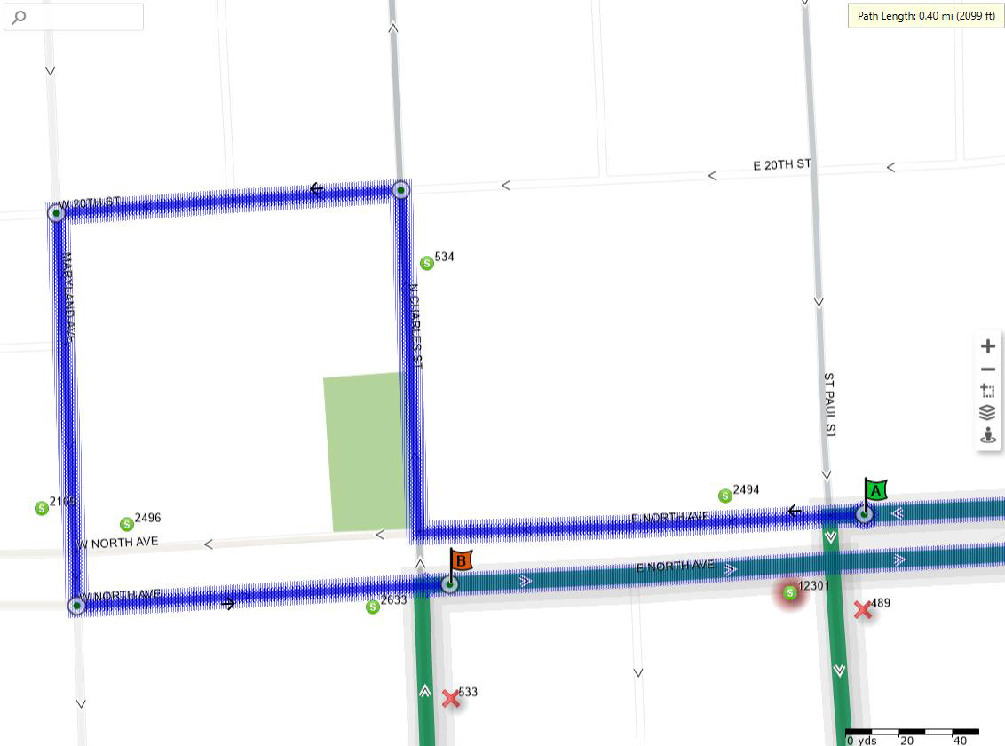
Details
Southbound, via the regular route westbound on North Avenue to Saint Paul Street, then:
- Straight on North Avenue
- Right on Charles Street
- Left on 20th Street
- Left on Maryland Avenue
- Left on North Avenue
Northbound, from Stop ID 2633, then:
- Straight on Charles Street, via the regular route eastbound.
CityLink Lime
Eastbound Detour (1 of 2)

Details
Via the regular route northeast on Dr. Martin Luther King, Jr. Boulevard to Read Street, then:
- Straight on Dr. Martin Luther King, Jr. Boulevard
- Left on Howard Street
- Right on North Avenue
- Right on Greenmount Avenue
- Left on Biddle Street, then via the regular route eastbound.
Eastbound Detour (2 of 2)

Westbound Detour

Details
From Stop ID 10548, Caroline Street & Fayette Street, near side, southbound, then:
- Right on Fayette Street
- Right on Central Avenue
- Right on Orleans Street
- Left on Caroline Street, then via the regular route westbound.
Via the regular route westbound on Preston Street to Greenmount Avenue, then:
- Right on Greenmount Avenue
- Left on North Avenue
- Left on Howard Street through Dolphin Street, then via the regular route westbound.
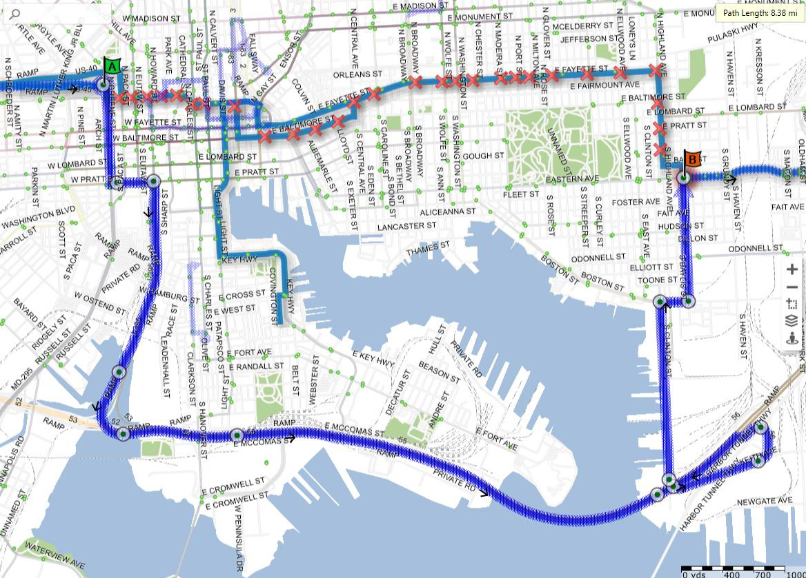
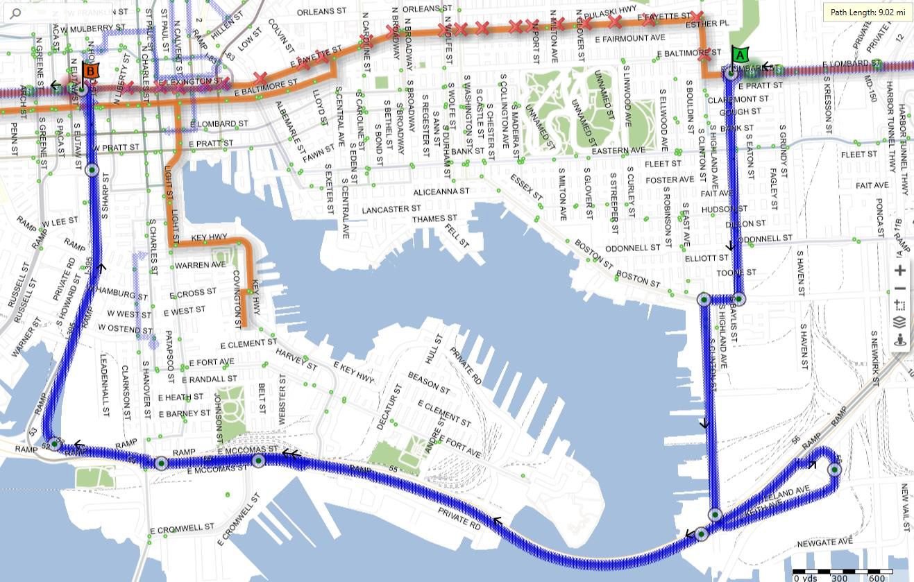
CityLink Navy
Eastbound Detour
Details
Via the regular route eastbound on Pratt Street to Howard Street, then:
- Right on Howard Street
- Straight onto Cal Ripken Way / I-395
- Stay Right for Ramp onto I-95 North (New York)
- Merge onto I-95 North Exit (New York)
- Straight on I-95 North
- Use Bore 4 to go through Fort McHenry Tunnel
- Right on Exit 56 (Keith Avenue) the first exit after the tunnel
- Right on Keith Avenue
- Right on Clinton Street
- Right on Eastern Avenue to Conkling Street, then via the regular route Hopkins Bayview or Watersedge.
Westbound Detour

Details
Via the regular route northbound on Conkling Street to Eastern Avenue, then:
- Left on Eastern Avenue
- Left on Clinton Street
- Straight onto Keith Avenue
- Left on Entrance Ramps to I-95
- Bear Left for I-95 South (Washington)
- Straight on I-95 South (Washington)
- Use Bore 1 to go through Fort McHenry Tunnel
- Right on Exit 53 for I-395 (Downtown/Inner Harbor)
- Merge Left for I-395 (Downtown/Inner Harbor)
- Straight onto Cal Ripken Way / I-395 to Howard Street
- Straight onto Howard Street
- Left on Lombard Street, then via the regular route.
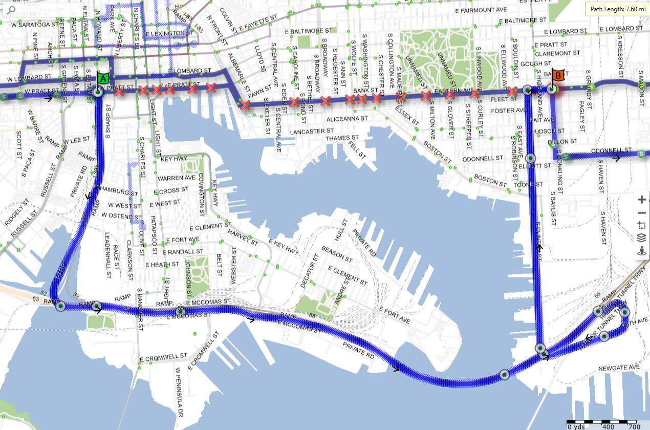
CityLink Orange
Eastbound Detour
Details
Via the regular route eastbound on Baltimore Street to Eutaw Street, then:
- Right on Eutaw Street
- Left on Pratt Street
- Right on Howard Street
- Straight onto Cal Ripken Way / I-395
- Stay Right for Ramp onto I-95 North (New York)
- Merge onto I-95 North Exit (New York)
- Straight on I-95 North
- Use Bore 4 to go through Fort McHenry Tunnel
- Right on Exit 56 (Keith Avenue) the first exit after the tunnel
- Right on Keith Avenue
- Right on Clinton Street
- Right on Boston Street
- Left on Conkling Street
- Right on Lombard Street, then via the regular route.
Westbound Detour
Details
Via the regular route westbound on Lombard Street to Conkling Street, then:
- Left on Conkling Street
- Right on Boston Street
- Left on Clinton Street
- Straight onto Keith Avenue
- Left on Entrance Ramps to I-95
- Bear Left for I-95 South (Washington)
- Straight on I-95 South (Washington)
- Use Bore 1 to go through Fort McHenry Tunnel
- Right on Exit 53 for I-395 (Downtown/Inner Harbor)
- Merge Left for I-395 (Downtown/Inner Harbor)
- Straight onto Cal Ripken Way / I-395 to Howard Street
- Straight onto Howard Street
- Left on Fayette Street, then via the regular route.
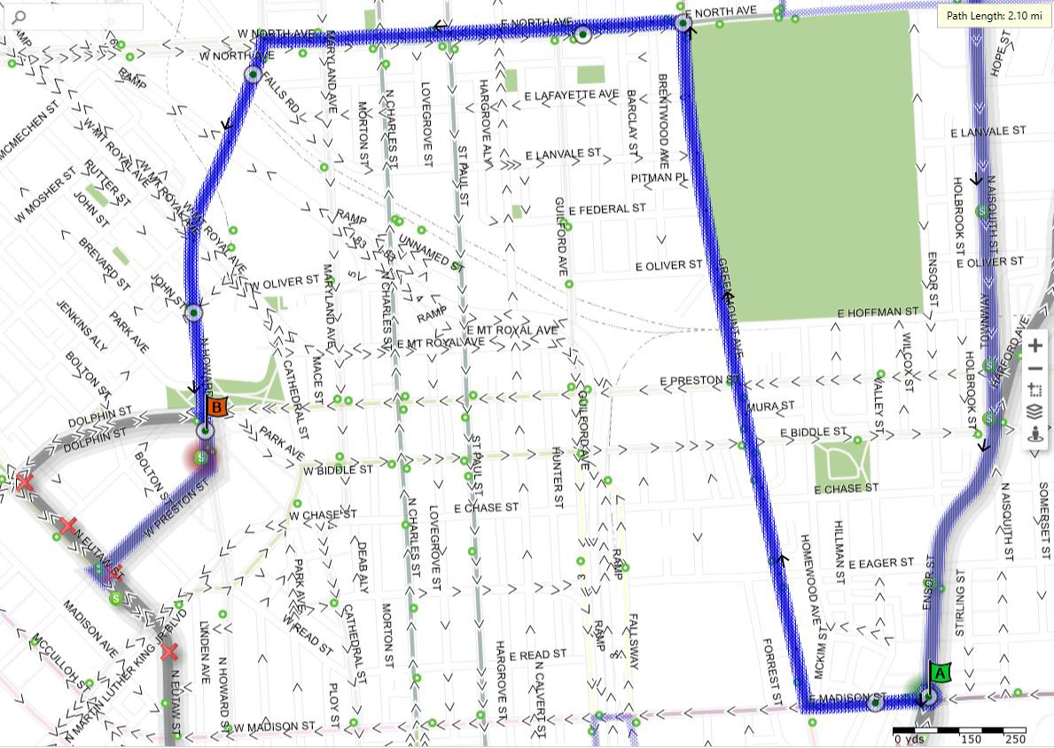
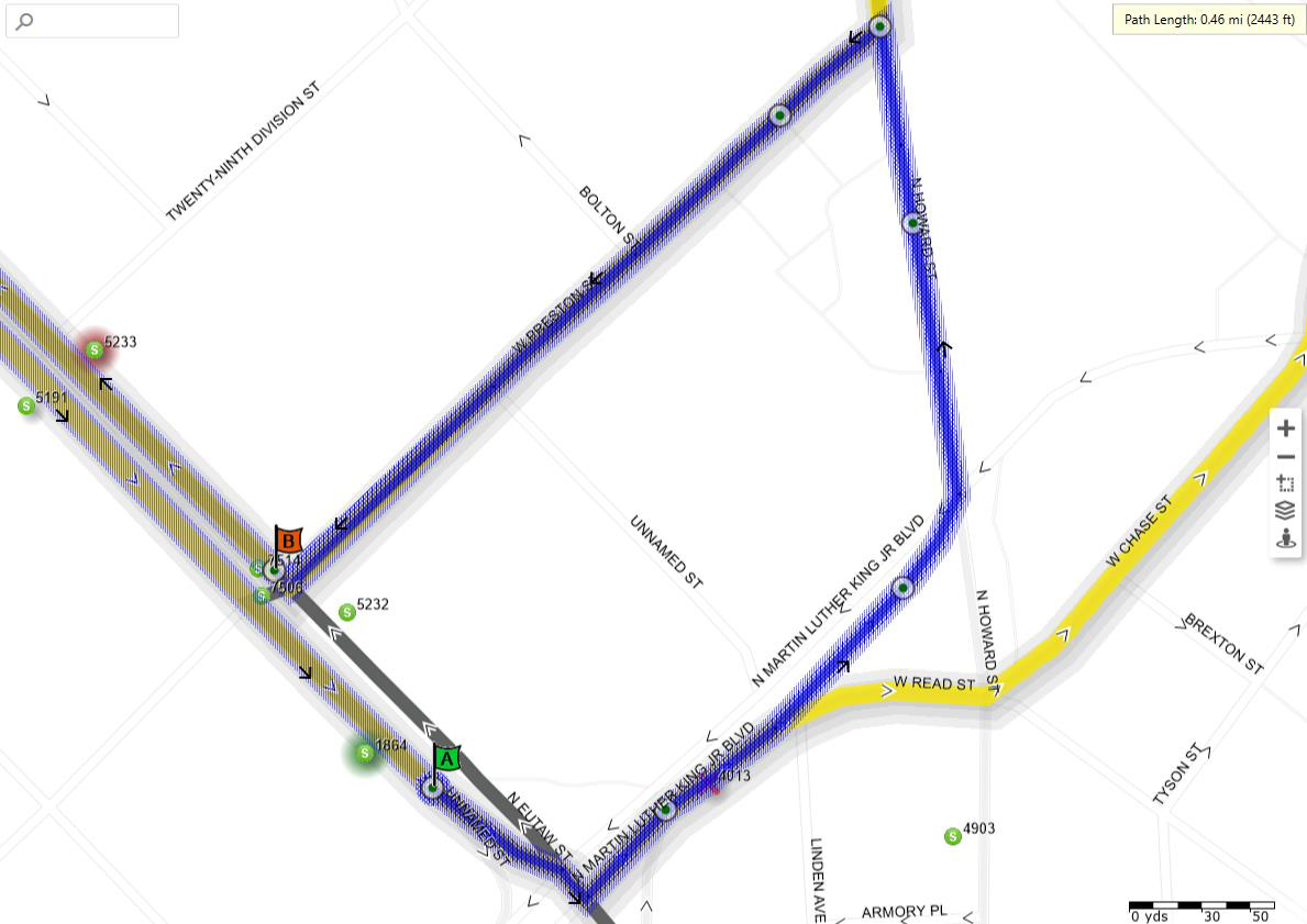
CityLink Pink
Eastbound Detour

Details
Via the regular route southeast on Druid Hill Avenue to Dr. Martin Luther King, Jr. Boulevard, then:
- Left on Dr. Martin Luther King, Jr., Boulevard
- Left on Howard Street
- Right on North Avenue
- Right on Greenmount Avenue
- Left on Monument Street, then via the regular route.
Westbound Detour

Details
Via the regular route westbound on Madison Street to Greenmount Avenue, then:
- Right on Greenmount Avenue
- Left on North Avenue
- Left on Howard Street
- Right on Dr. Martin Luther King, Jr. Boulevard
- Right on McCulloh Street, then via the regular route.
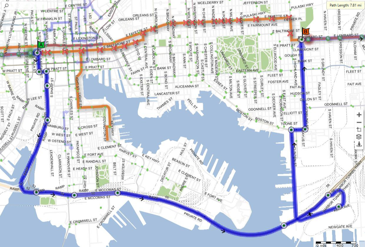
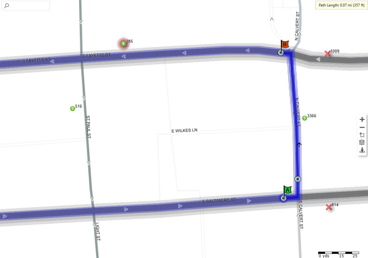
CityLink Purple

Details
Eastbound, via the regular route eastbound on Baltimore Street to Calvert Street, then:
- Left on Calvert Street
- Left on Fayette Street
Westbound, from Fayette Plaza, then:
- Straight on Fayette Street, then via the regular route westbound.
CityLink Red

Details
Southbound, via the regular route southbound on Greenmount Avenue to Hillen Street, then:
- Right on Hillen Street
- Left on Colvin Street
- Left on Ensor Street
- Left on Forrest Street
Northbound, Forrest Street & Hillen Street, then:
- Straight on Forrest Street, then via the regular route northbound.
CityLink Silver
Northbound Detour

Details
Via the regular route southbound on Saint Paul Street to North Avenue, then:
- Right on North Avenue
- Left on Howard Street
- Right on Dr. Martin Luther King, Jr. Boulevard
- Left on Druid Hill Avenue
- Straight onto Centre Street
- Right on Cathedral Street
- Straight onto N. Liberty Street
- Straight onto Hopkins Plaza
- Straight onto Sharp Street
- Left on Conway Street
- Right on Light Street, then via the regular route.
Southbound Detour
Details
Via the regular route northbound on Charles Street to Conway Street, then:
- Left on Conway Street
- Right on Howard Street
- Right on North Avenue
- Left on Charles Street, then via the regular route.
CityLink Yellow

Details
Northbound, via the regular route eastbound on Pratt Street to Charles Street, then:
- Left on Charles Street
- Left on Lombard Street
Southbound, from Stop ID 3661, then:
- Straight on Lombard Street, then via the regular route southbound.
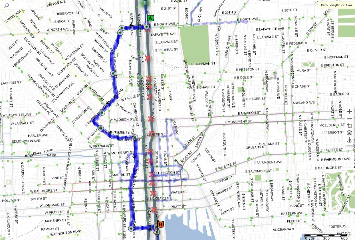
LocalLink 21
Eastbound Detour (1 of 2)
Details
Via the regular route northbound on Buena Vista Avenue to 41st Street, then:
- Left on 34th Street
- Right on Druid Park Drive
- Left on Reisterstown Road
- Left on Auchentoroly Terrace
- Bear Left to Druid Hill Avenue
- Left on Druid Park Lake Drive
- Straight onto 28th Street
- Right on Remington Avenue, then via the regular route.
Eastbound Detour (2 of 2)

Details
Via the regular route southbound on Linwood Avenue to Fayette Street, then:
- Left on Fayette Street
- Right on Highland Avenue
- Right on Baltimore Street
- Left on East Avenue, then via the regular route.
Westbound Detour (1 of 2)

Details
Via the regular route northbound on East Avenue to Baltimore Street, then:
- Right on Baltimore Street
- Left on Highland Avenue
- Left on Fayette Street
- Right on Linwood Avenue, then via the regular route
Westbound Detour (2 of 2)

Details
Via the regular route northbound on Remington Avenue to 29th street, then:
- Left on 29th Street
- Straight on Druid Park Lake Drive
- Stay Right to McCulloh Street
- Straight onto Reisterstown Road
- Bear Right to Park Heights Avenue
- Right on Druid Park Drive through 41st Street, then via the regular route to Woodberry Light Rail Station.
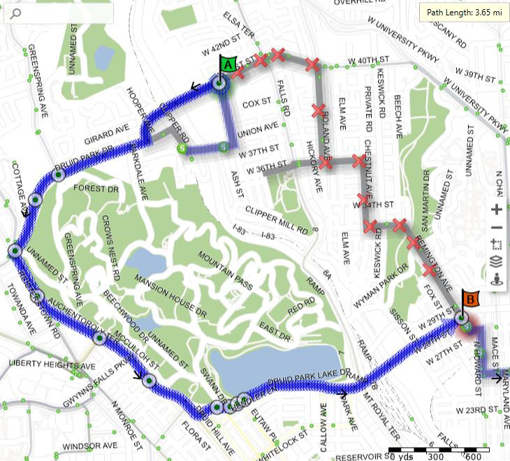
LocalLink 22
Eastbound Detour

Details
Via the regular route eastbound on Druid Park Drive to Reisterstown Road, then:
- Right on Reisterstown Road
- Left on Auchentoroly Terrace
- Bear Left to Druid Hill Avenue
- Left on Druid Park Lake Drive
- Straight onto 28th Street
- Left on Charles Street
- Right on University Parkway, then via the regular route.
Westbound Detour
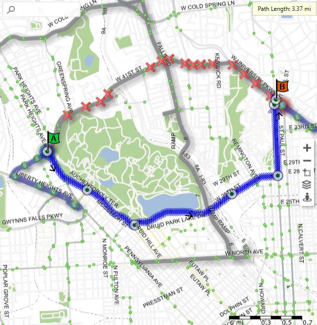
Details
Via the regular route westbound on University Parkway to Saint Paul Street, then:
- Left on Saint Paul Street
- Right on 29th Street
- Straight on Druid Park Lake Drive
- Stay Right to McCulloh Street
- Straight onto Reisterstown Road
- Left on Druid Park Drive, then via the regular route to Mondawmin Metro Station.
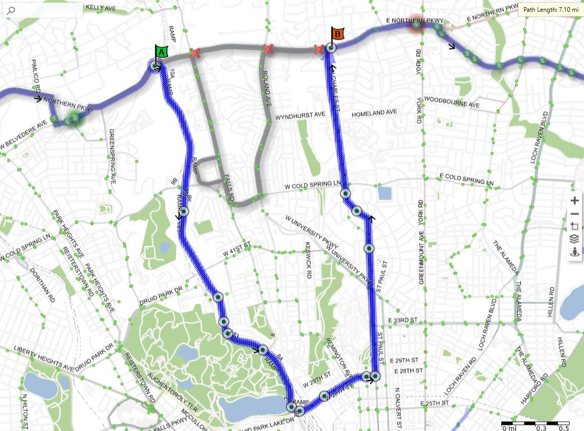
LocalLink 28
Northbound Detour

Details
Via the regular route westbound on Cold Spring Lane to Charles Street, then:
- Left on Charles Street
- Left on University Parkway
- Right on Saint Paul Street
- Right on 29th Street
- Bear Left for Entrance Ramp to I-83 (Jones Falls Expressway), Northbound
- Straight on I-83 Northbound
- Right at Exit 9B on Cold Spring Lane heading west (counterclockwise)
- Straight onto Cold Spring Lane, then via the regular route.
Southbound Detour
Details
Via the regular route eastbound on Cold Spring Lane to I-83 (Jones Falls Expressway) Southbound Entrance Ramp, then:
- Right onto I-83 (Jones Falls Expressway), Southbound
- Right at Exit 7 for 28th Street / Druid Pak Lake Drive
- Bear Left for 28th Street
- Straight onto 28th Street
- Left on Charles Street
- Left on Saint Paul Street
- Right on Charles Street
- Right on Cold Spring Lane, then via the regular route.
LocalLink 30
Eastbound Detour
Details
Via the regular route eastbound on Northern Parkway to I-83 (Jones Falls Expressway) Southbound Entrance Ramp, then:
- Right onto I-83 (Jones Falls Expressway), Southbound
- Right at Exit 7 for 28th Street / Druid Pak Lake Drive
- Bear Left for 28th Street
- Straight onto 28th Street
- Left on Charles Street
- Left on Saint Paul Street
- Right on Charles Street
- Right on Northern Parkway, then via the regular route.
Westbound Detour

Details
Via the regular route westbound on Northern Parkway to Charles Street, then:
- Left on Charles Street
- Left on University Parkway
- Right on Saint Paul Street
- Right on 29th Street
- Bear Left for Entrance Ramp to I-83 (Jones Falls Expressway), Northbound
- Straight on I-83 Northbound
- Right at Exit 10B on Northern Parkway westbound (counterclockwise)
- Straight onto Northern Parkway, then via the regular route
LocalLink 33
Eastbound Detour

Details
From Kelly Avenue, then:
- Left on Bonnie View Drive
- Straight onto Cross Country Boulevard
- Right on Ken Oak Road
- Left on Greenspring Avenue
- Left on Northern Parkway
- Right onto I-83 (Jones Falls Expressway), Southbound
- Right at Exit 7 for 28th Street / Druid Pak Lake Drive
- Bear Left for 28th Street
- Straight onto 28th 3treet
- Left on Charles Street
- Left on Saint Paul Street
- Right on Charles Street
- Right on Northern Parkway, then via the regular route.
Westbound Detour

Details
Via the regular route westbound on Northern Parkway to Charles Street, then:
- Left on Charles Street
- Left on University Parkway
- Right on Saint Paul Street
- Right on 29th Street
- Bear Left for Entrance Ramp to I-83 (Jones Falls Expressway), Northbound
- Straight on I-83 Northbound
- Right at Exit 10B on Northern Parkway westbound (counterclockwise)
- Straight onto Northern Parkway
- Right on Greenspring Avenue
- Right on Ken Oak Road
- Left on Cross Country Boulevard
- Right on Bonnie View Drive
- Right on Kelly Avenue
- Straight onto Sulgrave Avenue
LocalLink 51

Details
Southbound, via the regular route southbound on Maryland Avenue to North Avenue, then:
- Left on North Avenue
Northbound, from Stop ID 2633, then:
- Straight on North Avenue
- Right on Guilford Avenue
- Left on Preston Street
- Right on Calvert Street
- Left on North Avenue
- Right on Charles Street, then via the regular route.
LocalLink 53

Details
Southbound, via the regular route southbound on Guilford Avenue to Preston Street, then:
- Straight on Guilford Avenue
- Left on Biddle Street
- Left on Greenmount Avenue
- Northbound, from Stop ID 1618, then:
- Straight on Greenmount Avenue
- Right on North Avenue, then via the regular route.
LocalLink 54
Northbound Detour

Details
Via the regular route southbound on Eutaw Street to Dr. Martin Luther King, Jr. Boulevard, then:
- Left on Dr. Martin Luther King, Jr. Boulevard
- Left on Howard Street
- Right on North Avenue
- Right on Greenmount Avenue
- Left on Monument Street
- Left on Ensor Street, then via the regular route.
Southbound Detour
Details
Via the regular route southbound on Ensor Street to Madison Street, then:
- Right on Madison Street
- Right on Greenmount Avenue
- Left on North Avenue
- Left on Howard Street through Dolphin Street, then via the regular to State Center Metro Station.
LocalLink 56
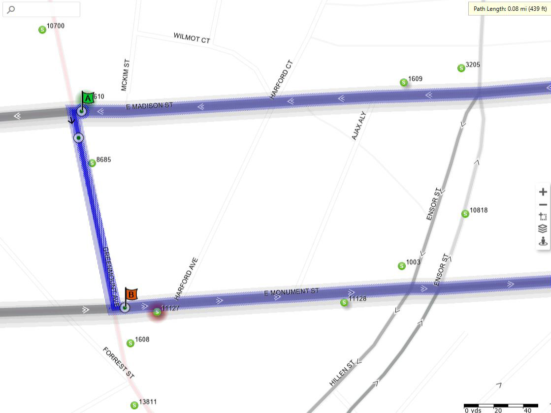
Details
Westbound, via the regular route westbound on Madison Street to Greenmount Avenue, then:
- Left on Greenmount Avenue
- Left on Monument Street
Eastbound. from Stop ID 11127, then:
- Straight on Monument Street, then via the regular route
LocalLink 65
Eastbound Detour

Details
Via the regular route southbound on Eutaw Street to Baltimore Street, then:
- Straight on Eutaw Street
- Left on Pratt Street
- Right on Howard Street
- Straight onto Cal Ripken Way / I-395
- Stay Right for Ramp onto I-95 North (New York)
- Merge onto I-95 North Exit (New York)
- Straight on I-95 North
- Use Bore 4 to go through Fort McHenry Tunnel
- Right on Exit 56 (Keith Avenue) the first exit after the tunnel
- Right on Keith Avenue
- Right on Clinton Street
- Left on Boston Street
- Right on East Avenue
- Right on O’Donnell Street, through Conkling Street, then via the regular route.
Westbound Detour

Details
Via the regular route westbound on O’Donnell Street to Conkling Street, then:
- Straight on O’Donnell Street
- Left on East Avenue
- Left on Boston Street
- Right on Clinton Street
- Straight onto Keith Avenue
- Left on Entrance Ramps to I-95
- Bear Left for I-95 South (Washington)
- Straight on I-95 South (Washington)
- Use Bore 1 to go through Fort McHenry Tunnel
- Right on Exit 53 for I-395 (Downtown/Inner Harbor)
- Merge Left for I-395 (Downtown/Inner Harbor)
- Straight onto Cal Ripken Way / I-395 to Howard Street
- Straight onto Howard Street
- Right on Pratt Street
- Left on Charles Street through Lombard Street, then via the regular route.
LocalLink 67

Details
Northbound, via the regular route eastbound on Baltimore Street to Calvert Street, then:
- Left on Calvert Street
- Left on Fayette Street
Southbound, from Fayette Plaza, then:
- Left on N. Liberty Street
- Straight onto Hopkins Plaza
- Straight onto Sharp Street
- Left on Conway Street
- Right on Light Street, then via the regular route.
LocalLink 71
Northbound Detour

Details
Via the regular route northbound on Light Street to Conway Street, then:
- Left on Conway Street
- Right on Charles Street
- Left on Fayette Street, then via the regular route.
Southbound Detour

Details
Via the regular route southbound on Eutaw Street to Baltimore Street, then:
- Straight on Eutaw Street
- Left on Pratt Street
- Right on Sharp Street
- Left on Conway Street
- Right on Light Street, then via the regular route.
LocalLink 76

Details
Eastbound, via the regular route eastbound on Pratt Street to Charles Street, then:
- Left on Pratt Street
- Left on Lombard Street
Westbound, from Stop ID 3661, then:
- Straight on Lombard Street, then via the regular route.
LocalLink 78
Details
Via the regular route eastbound on Baltimore Street to Calvert Street, then:
- Left on Calvert Street
- Left on Fayette Street
From Fayette Plaza, then:
- Straight on Fayette Street, then via the regular route.
LocalLink 80

Details
Eastbound, via the regular route eastbound on Lexington Street
Westbound, from Stop ID 3040, then:
- Left on Calvert Street
- Left on Saratoga Street, then via the regular route westbound to Rogers Avenue Metro Station.
LocalLink 91
Details
Southbound, via the regular route southbound on Eutaw Street to Preston Street
Northbound, from Stop ID 1864, then:
- Left on Dr. Martin Luther King, Jr. Boulevard
- Left on Howard Street
- Left on Preston Street
- Right on Eutaw Street, then via the regular route northbound to Sinai Hospital.
LocalLink 94
Northbound

Details
Via the regular route northbound on Remington Avenue to 29th Street, then:
- Left on 29th Street
- Bear Left for Entrance Ramp to I-83 (Jones Falls Expressway), Northbound
- Straight on I-83 Northbound
- Right at Exit 10B on Northern Parkway westbound (counterclockwise)
- Straight onto Northern Parkway
- Left on Greenspring Avenue
- Right on Clyburn Avenue
- Right on Lanier Avenue
- Right on Belvedere Avenue to the regular layover.
Southbound (1 of 2)

Details
From the regular layover and via the regular route eastbound on Belvedere Avenue to Northern Parkway, then:
- Right on Northern Parkway
- Right onto I-83 (Jones Falls Expressway), Southbound
- Right at Exit 7 for 28th Street / Druid Pak Lake Drive
- Bear Left for 28th Street
- Straight onto 28th 3treet
- Right on Remington Avenue, then via the regular route.
Southbound (2 of 2)

Details
Via the regular route eastbound on Pratt Street to Sharp Street, then:
- Right on Sharp Street
- Left on Conway Street
- Right on Light Street, then via the regular route.
QuickLink 40
Eastbound Detour

Details
Via the regular route eastbound on Mulberry Street to Greene Street, then:
- Right on Greene Street
- Left on Pratt Street
- Right on Howard Street
- Straight onto Cal Ripken Way / I-395
- Stay Right for Ramp onto I-95 North (New York)
- Merge onto I-95 North Exit (New York)
- Straight on I-95 North
- Use Bore 4 to go through Fort McHenry Tunnel
- Right on Exit 56 (Keith Avenue) the first exit after the tunnel
- Right on Keith Avenue
- Straight onto Clinton Street
- Right on Boston Street
- Left on Conkling Street
- Right on Lombard Street, then via the regular route.
Westbound Detour
Details
Via the regular route westbound on Lombard Street to Conkling Street, then:
- Left on Conkling Street
- Right on Boston Street
- Left on Clinton Street
- Straight onto Keith Avenue
- Left on Entrance Ramps to I-95
- Bear Left for I-95 South (Washington)
- Straight on I-95 South (Washington)
- Use Bore 1 to go through Fort McHenry Tunnel
- Right on Exit 53 for I-395 (Downtown/Inner Harbor)
- Merge Left for I-395 (Downtown/Inner Harbor)
- Straight onto Cal Ripken Way / I-395 to Howard Street
- Straight onto Howard Street
- Left on Fayette Street, then via the regular route.
Metro Subway
- Friday, Sept. 5: All Metro Subway stations will close at 7 p.m. for new rail vehicle testing. Shuttle buses will serve all stations.
- Saturday, Sept. 6: Regular service will operate from 6 a.m. to midnight.
- Sunday, Sept. 7: All Metro Subway stations will be closed for new rail vehicle testing. Shuttle buses will serve all stations.
Light Rail
Until further notice, shuttle buses will replace Light Rail service between North Avenue and Camden Station as a result of planned demolition work on the fire-damaged building at Howard and Fayette Streets. All other Light Rail service will operate as scheduled.